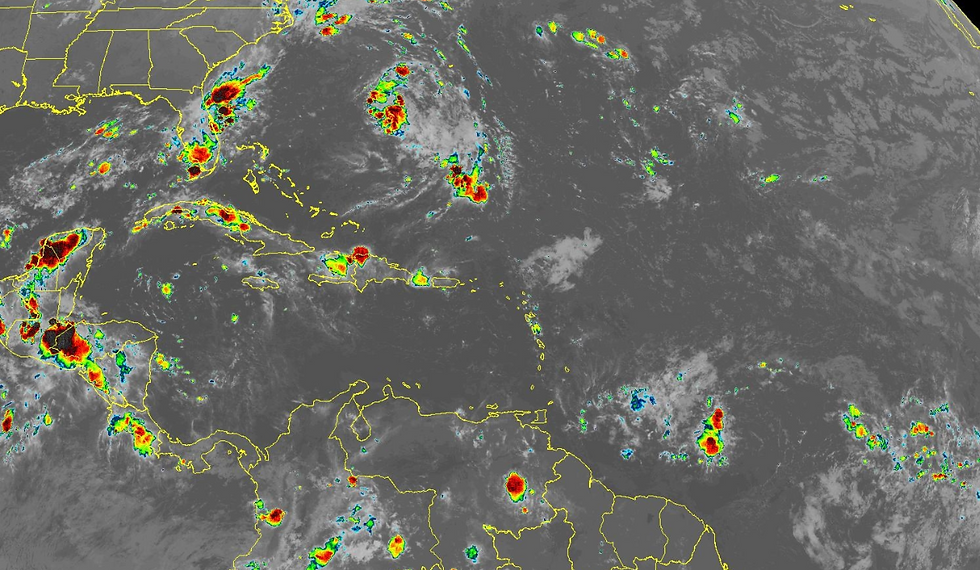
Hurricane Melissa Rapidly Intensifying — Jamaica in the Direct Path
- Sentinel Weather

- Oct 25
- 2 min read

Hurricane Melissa is showing signs of rapid intensification today, with satellite and radar data confirming that the storm is strengthening quickly as it moves slowly westward toward Jamaica. The eye is becoming more defined, and wind speeds have increased to around 80 knots (90 mph) — a clear sign that Melissa is entering a dangerous phase of development.
Track and Forecast
Melissa is currently drifting west at about 3 knots, guided by a ridge of high pressure to its north. This pattern will keep the storm moving generally westward through the weekend before a sharp turn to the north and northeast early next week.
Forecast models are now in close agreement, showing a direct landfall in Jamaica early Tuesday, followed by movement across eastern Cuba by Wednesday. Afterward, Melissa is expected to move into the southwestern Atlantic. A Hurricane Watch is already in effect for parts of eastern Cuba.
Intensity Outlook
Nearly all major forecast models — including the HAFS-A/B and Google DeepMind ensembles — project that Melissa will continue strengthening over the next 36–48 hours, possibly reaching Category 5 intensity before reaching Jamaica. The National Hurricane Center expects peak winds near 140 knots (160 mph), meaning Melissa will likely be a catastrophic hurricane at landfall.
Expected Impacts
Jamaica: Catastrophic wind damage, life-threatening flash flooding, landslides, and storm surge are likely. Residents should rush preparations to completion tonight.
Haiti and the Dominican Republic: Severe flooding and landslides expected, particularly in southern areas.
Eastern Cuba, Southeast Bahamas, and Turks and Caicos: Increasing risk of strong winds, storm surge, and heavy rainfall by midweek.
This is a life-threatening situation. Sentinel Weather urges all residents in Jamaica and nearby islands to complete preparations immediately and follow guidance from local authorities.


Comments